
 |
LIFETIME of WALKS by DEREK HARWOODDerek Harwood's Walking Records If you have any queries about the pictures or descriptions e-mail me at: derek@harwoodonline.com | ||||
 | |||||
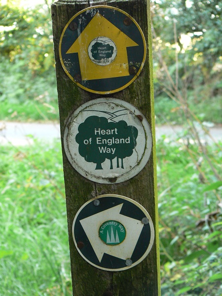
| HEART OF ENGLAND WAY Whitacre Heath to Meriden Tuesday 11th September 2007 .......................Walk No. 702 |
 | ||||
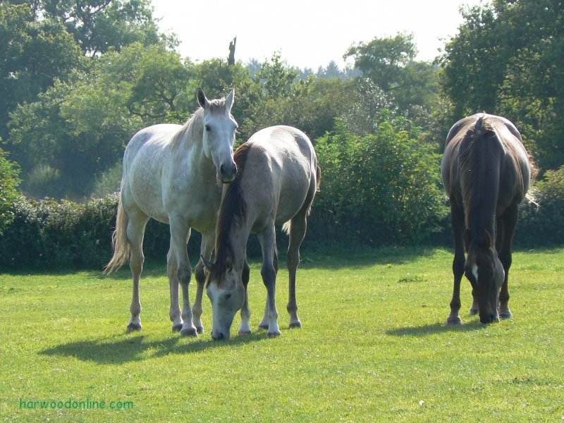
HEART OF ENGLAND WAY  No. 6           Total 46.5 miles


Time Taken:  4 hrs        Distance:      Enjoyment:     Weather:   Sunny Intervals
 12:30 pm - 4:35 pm        11 miles             85%               Warm, Little Breeze

Temp:    Cloud:      Rain:     Visibility:   Ground Conditions:  Wild Life:Horses
 19oC       75%         None        Good             Very Hard    Partridges Blackberries

Total AA:      Total MH:    Total LD:       Total AW:     Other:     Total Distance:
 1027.5 mls    931.5 mls     1870 mls        162 mls     1115.5 mls     5106.5 miles

Companions:  (Derek)

Points of Interest and LINKS:
Heart of England Way                    Centre of England                    Meriden Village
Heart of England                         Shustoke Reservoirs               The Metlins Farm
Meriden Shafts Wood
Description:
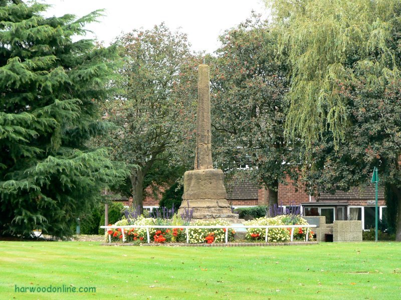
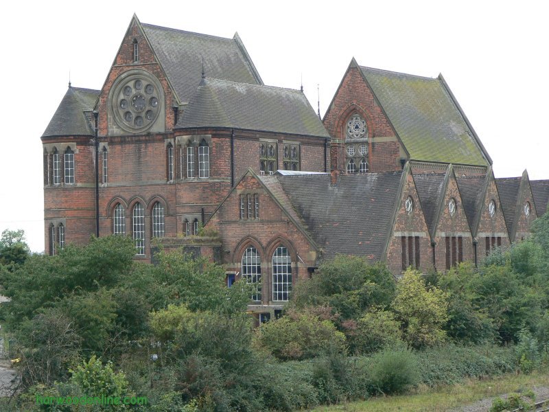
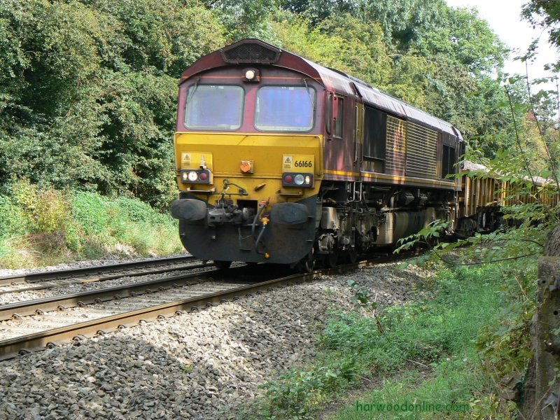
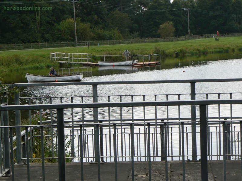
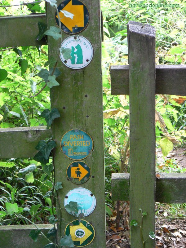
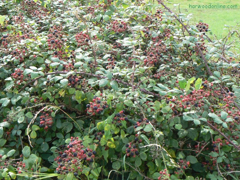
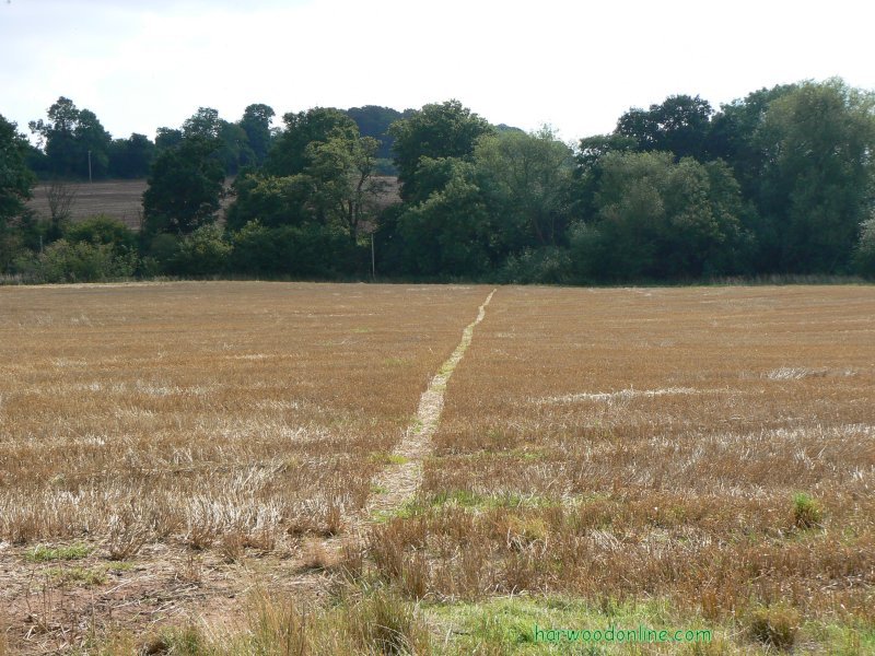
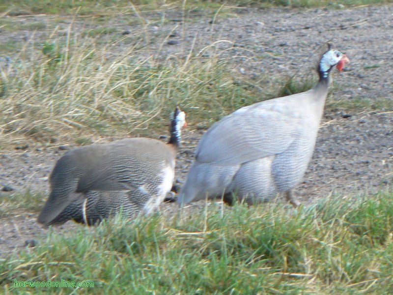
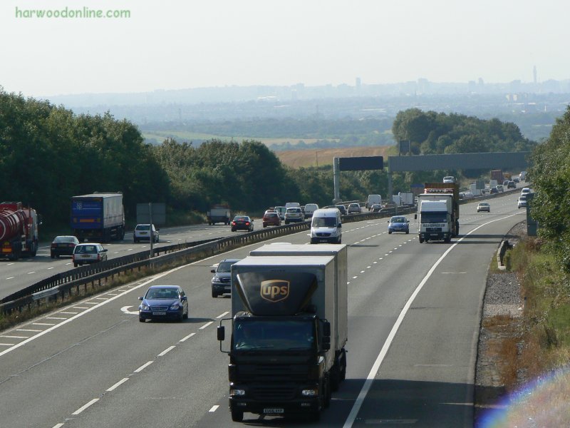
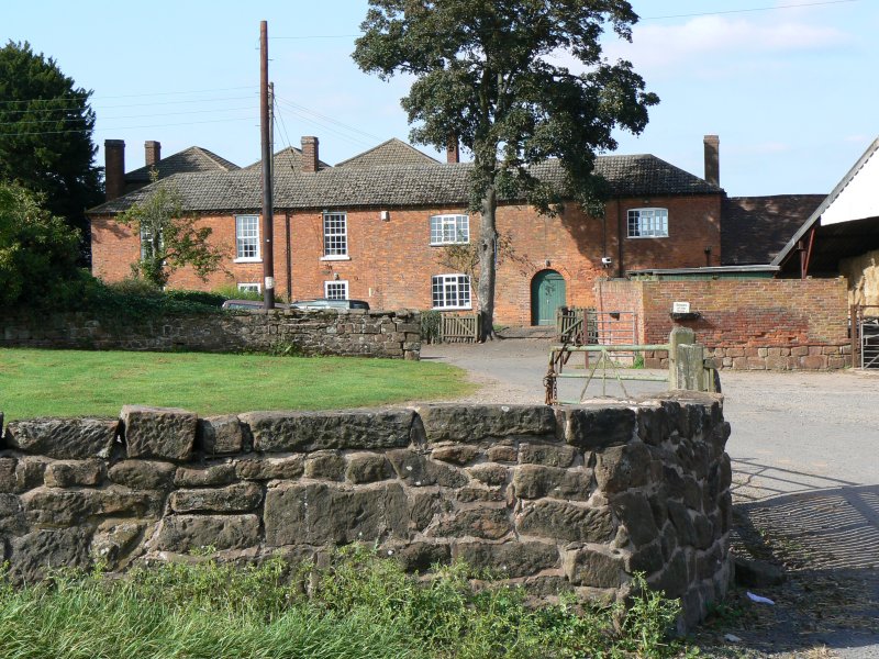
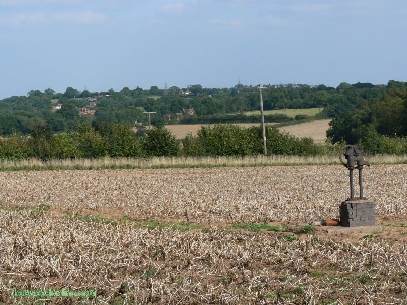
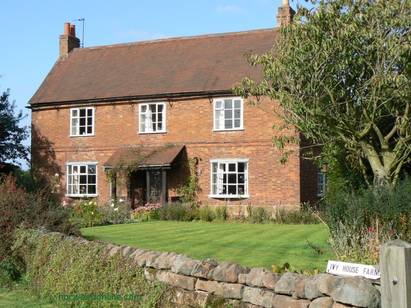
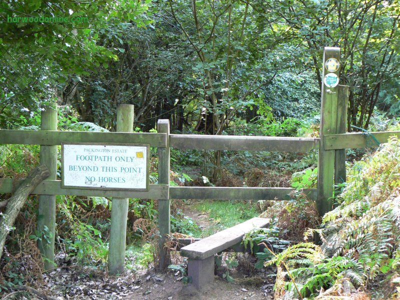
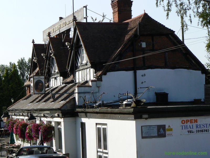
Parked new car in the car park of The Queen's Head Public House, Meriden at 11:20 am. Cycled to Whitacre Heath Village via Maxstoke and Shustoke villages. Passing the Cyclists War Memorial on Meriden Green, Meriden Cross (Disputed centre of England), Maxstoke Castle and the magnificent building of Shustoke Water Works. In my biased oppinion, 'Lillington' is definately the true centre. Locked bicycle to fence in The Swan Inn Public House at Whitacre Heath at 12:30. Started walk down a broad lane alongside the railway track to a delicate steel footbridge. Path is joined here by the Centenary Way for a short way before diverging and converging again. Crossed Dingle Brook to Hoggill's End. Here, alongside the path, was a notice and map, asking the walker to divert from the path around Shustoke reservoirs, to a path through Shustoke Village. I studied the map and notice closely and after much thought decided to continue on my original route through the temp works until I was forced to change course. I continue over the railway lines with extreme caution to the footpath with the proposed works. The path had been widened to take motor traffic but no sign of any works. I did meet a couple of workmen so I was expecting the path to be restricted. I spoke to the workmen, but they explained that they were nothing to do with the footpath, they were inspecting the railway track and walking along the footpath for safety from the trains. The path had no obstructions at the time of the walk, so when I reached the railway footpath crossing at the east end of the reservoirs, I knew that I had successfully negotiated any potential problems. The 'Way' has been diverted at the railway level crossing to skirt the edge of the easterly reservoir. At this point I had memories from the 'West Midlands Way' walk, five years earlier. See walk 'West Midlands Way Walk No.26' for a description of the walk on 11th November 2002. I must admit, I thought it was at least ten years earlier. In some ways time flies, but when you are busy and have lots of memories, time goes slowly. Quick diversion. When I worked for a living I worked at many different locations, sometimes changing on a daily basis, sometimes after a few weeks. I always said that for me the weeks went quickly but the years went slowly because I had so much to remember. Whereas on the few occasions when I worked in an office, the opposite was true. The days and week went slowly but the years would go quickly because each day was so similar. One reason why I enjoyed work. I digress. The diversion initially wasn't sign posted. I was forced to divert from the map because the route was overgrown and obviously not walked for a long while. As I reached the stile and entered the field south of the reservoirs I saw the diversion and H of E sign and realised I was back on track. Soon after I wasn't sure if I was on the correct path, but when I saw the church spire of Church End, I knew I was on OK. The field after the B4114 road was very rutted. I almost twisted my ankle. Sharp reminder to be extra careful when walking alone. Stopped for more juicy blackberries from a huge bush south of Church End. Lots of partridges in the arable fields around 'The Metling' farm. From this farm the path across the huge field was lost after ploughing. During such circumstances, head for Hill Plantation, crossing the next field with the lone tree. Pass just to the right of this lone tree and down to small bridge crossing the stream in Dumble Wood. Follow this interesting wood to the quiet lane. At the junction of the lanes cross the huge field adjacent to Shawbury Wood. Good views in most directions from here onwards. As I approached the stile and lane near Collier's Oak Farm I could see the silhouette of someone by the stile. After a while I was convinced the silhouette was a bush because there was no movement. When I reached the stile I found a cyclist reading the paper. Polite conversation then onwards to the junction of lanes by High Home Farm. I studied the map and the lanes signs and eventually concluded that one or the other was incorrect. From the detailed www.streetmap.co.uk map of the area I could see the evidence. Proving to me that the Explorer Map 221 showing Broad Lane is incorrect. More memories at Barratt Farm, the farm bridge over the noisy M6 motorway, the ancient water pump in the field opposite Hayes Hall Farm and Ivy House Farm old barn, with its lone standing end wall. Even more memories through Meriden Shafts wood and the lane down to the car at the Queen Head Public House.
Location:
- www.streetmap.co.uk, -
Start: from Whitacre Heath Village 421920/292855, -
Finish: at Meriden Village 425200/282010, -
via: Shustoke Reservoirs 422485/290885. (Click on location and use Zoom and BACK Buttons).
Hazards:
Take great care while crossing the railway track near Hoggrill's End. Modern trains are much faster and more quiet than yester year and especially the steam days. Listen for the rail lines 'singing' when a train is about to pass. Today's 'solid' lines transmit the vibration and hum for a good distance infront of the engine. Protect your ankles more during very dry weather. The farmers ruts and the animal footprint can be ankle breaking when the ground is solid. This danger is even more important when walking alone. It is advisable to carry a mobile telephone to call help if needed.
Click Here to Return to 'Lifetime of Walks' Homepage | |||||
 |
|||||
 |
|||||
 |
|||||
 |
|||||
 |
|||||
 |
|||||
 |
|||||
 |
|||||
| |||||
 |
|||||
 |
|||||
 | |||||
 | |||||
 | |||||
 | |||||
 | |||||
 |
 |
 |
 |
 | |
| Previous Walk : Next Walk : More Photos : 'Midland Hillwalking' Photos : 'Lake District' Photos | |||||
| News : Formula 1 : Walking : Table Tennis : Bellringing : My Friends : My Guestbook : CV : Links | |||||
Derek Harwood: Copyright 2007 Devised: September 2007 | |||||