
 |
LIFETIME of WALKS by DEREK HARWOODDerek Harwood's Walking Records If you have any queries about the pictures or descriptions e-mail me at: derek@harwoodonline.com | ||||
 | |||||
| WEST MIDLANDS WAY SHUSTOKE RESERVOIRS | |||||
| Botts Green to Maxstoke - Warwickshire
Monday 11th November 2002 ..............................Walk No. 532 |
 | ||||
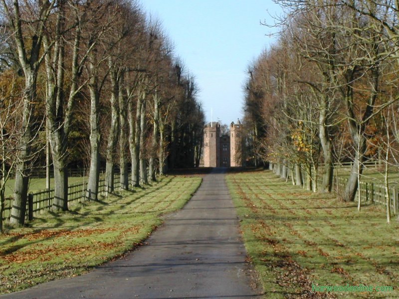
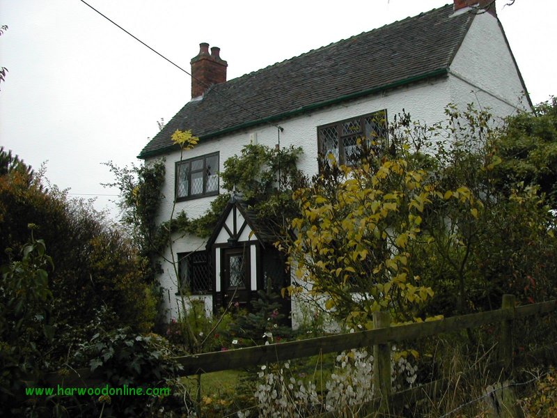
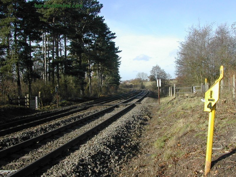
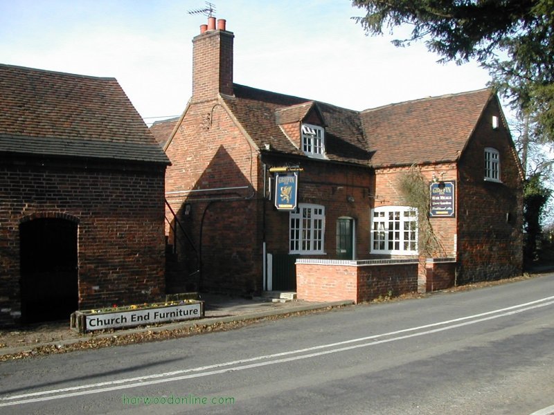
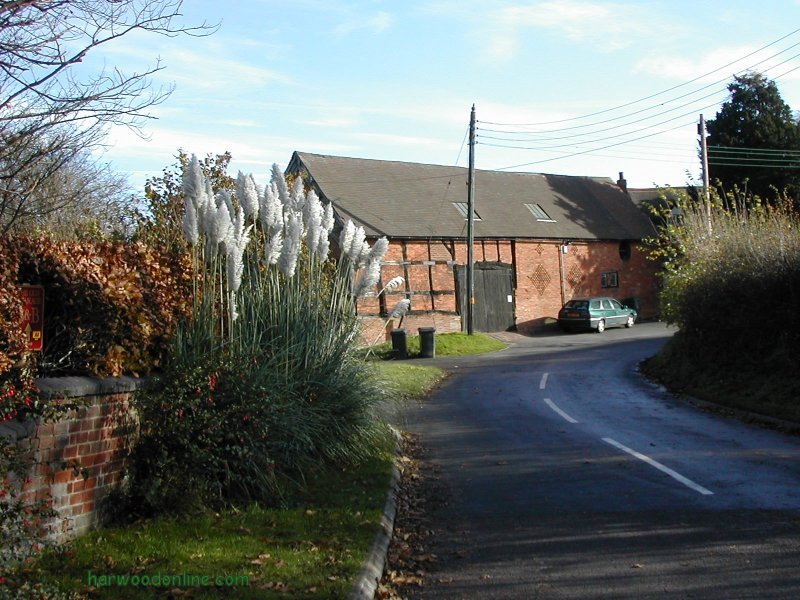
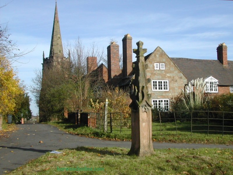
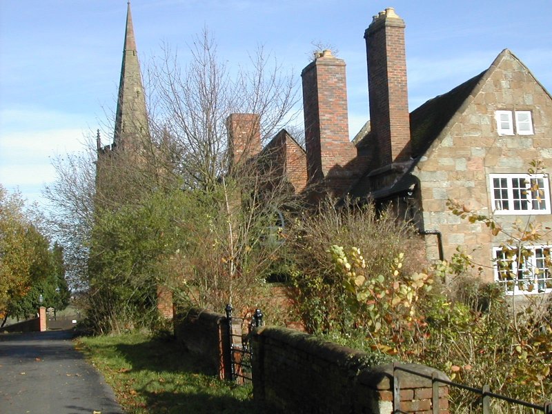
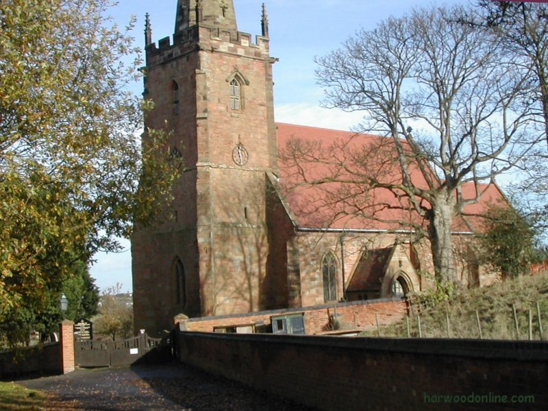
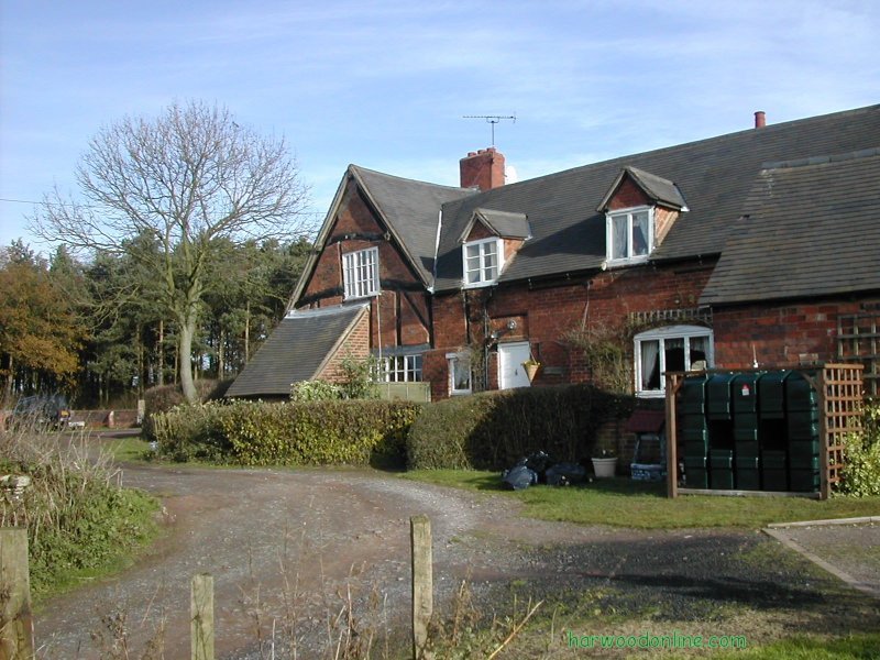
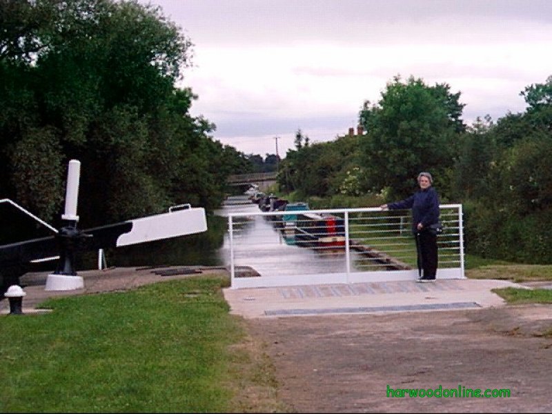
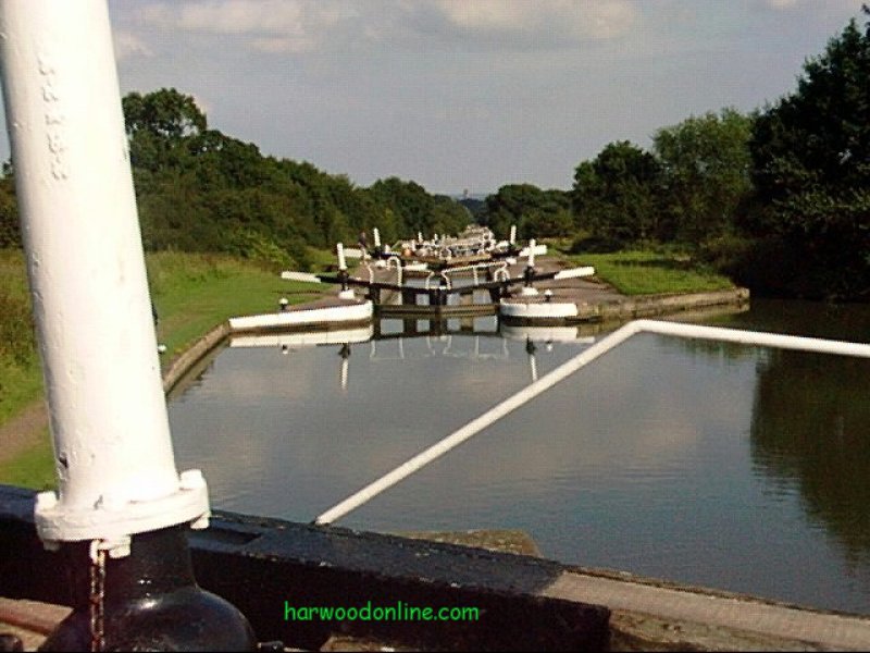
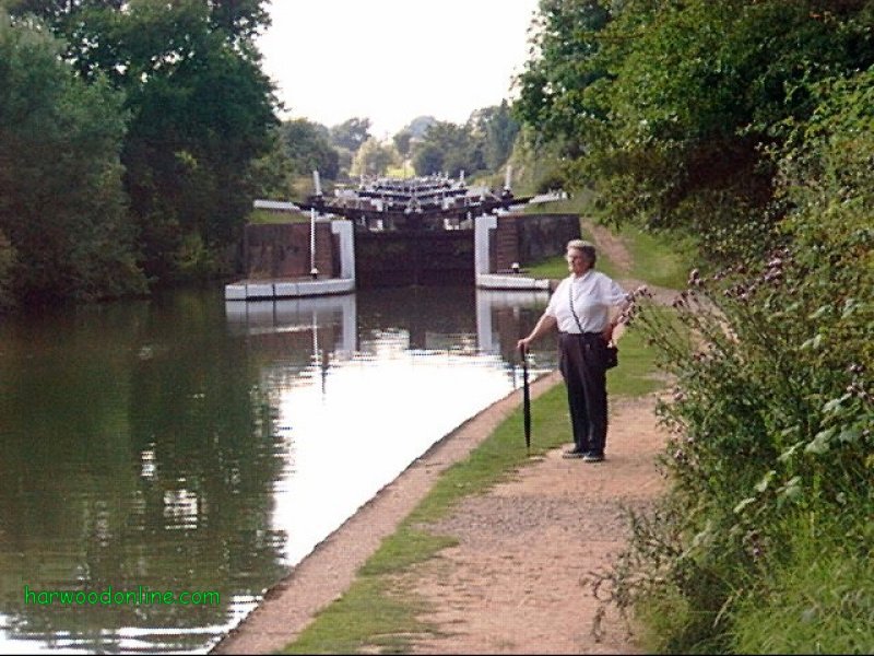
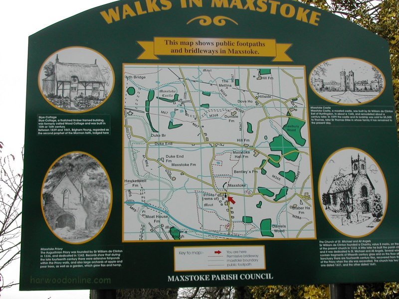
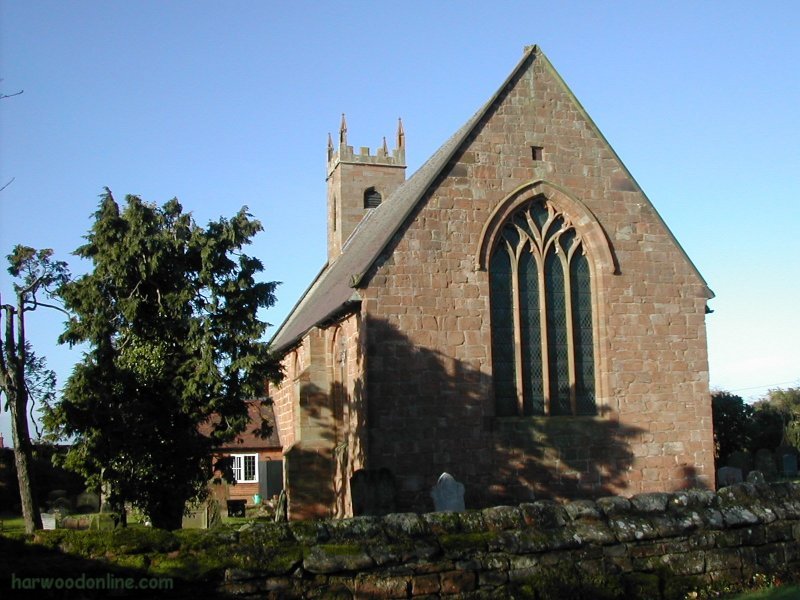
WEST MIDLANDS WAY  No. 26                Total 141 miles


Time Taken:  ? hrs        Distance:      Enjoyment:   Weather: Sunny but Breezy
 10:45 am - ?:35 pm         4 miles              75%       Threat of Rain at End of Walk

Temp:    Cloud:      Rain:     Visibility:   Ground Conditions:   Wild Life:  Birds
 13oC       10%         None        Good              Very Wet

Total AA:      Total MH:    Total LD:       Total AW:     Other:     Total Distance:
 660 mls         686 mls       1652 mls        100.5 mls     889 mls      3987.5 miles

Companions:  (Derek)

Points of Interest and LINKS:
Whitacre Heath Village                                      Griffin Inn - Church End Shustoke
Birmingham & Nuneaton Railway                                                Foul End Village
Description: Parked car by St Michael & All Angels Church and Church End Cottage on Packington Lane, Maxstoke at 10:15am. Cycled to Botts Green, 5 miles, at 10:45 and left bicycle in hedge, through gate at end of Botts Green Lane on Road (B4098). Wall to wall sunshine at start of walk, but very wet underfoot after recent rain. Cross railway line with care just before feeder pool to Shustoke Reservoir, take care at this point after joining the Heart of England Way. Path diverted due to hedgerow removal. After crossing the second bridge from the railway line by the sluice gate, walk with the stream on the left but fork right with the fence on the right to a third bridge over another small stream. Great care required when crossing the B4114 (A47), very dangerous with sharp bends both ways by Griffin Inn. Return to stile by junction after visiting village & church. Extra care required after Metlins Farm, intruding field corner not obvious at first on brow of field. At the end of the bank before Hill Farm, the signs direct walkers to a very narrow path on the right hand side of horses field. This path is very overgrown, it may be better to walk with hedge on left hand side because path crosses to other side of hedge by Hill Farm and just before Fillongly Road. From road and after bridge over stream, turn right and follow stream to right hand side of massive field. Path diverted to edge of field due to removal of hedges. Follow the right hand side of several fields to Maxstoke Village. New wood created two fields before Maxstoke Village. New saplings just planted in neat rows. Notice by field from land owner and Forestry Commission, inviting walkers to enjoy the area. Maxstoke Priory Gateway under renovation and surrounded by scaffolding. No photographs possible. Location: - www.streetmap.co.uk, - Start: from Botts Green Village 424240/291900, - Finish: at Maxstoke Village 423570/286785, - via: Shustoke Reservoirs 423765/291475. (Click on location and use Zoom and BACK Buttons). Hazards: Take extra care when crossing the railway lines and the main roads (B4098) at start of walk and (B4114) in Church End Village. Consult map very closely after 'The Matlins' farm. If time allows, complete one of the local walks on the information board at Maxstoke St Michael Church. Click Here to Return to 'Lifetime of Walks' Homepage | |||||
 |
|||||
 |
|||||
 |
|||||
|
|||||
 |
|||||
 |
|||||
 |
|||||
 |
|||||
 |
|||||
 |
|||||
 |
 |
 |
 |
 |
|
| Previous Walk : Next Walk : More Photos : 'Midland Hillwalking' Photos : 'Lake District' Photos | |||||
| News : Formula 1 : Walking : Table Tennis : Bellringing : My Friends : My Guestbook : CV : Links | |||||
Derek Harwood: Copyright 2007 Devised: September 2007 | |||||