
 |
LIFETIME of WALKS by DEREK HARWOODDerek Harwood's Walking Records If you have any queries about the pictures or discriptions e-mail me at: derek@harwoodonline.com | ||||
 | |||||
| 'AA' - NO THROUGH ROAD - WALK WINDERMERE - NO. 171 Wednesday 18th August 2004 ...........Walk No. 592 |
 | ||||
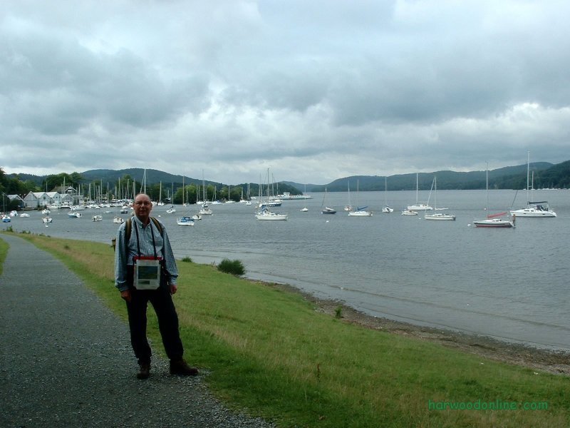
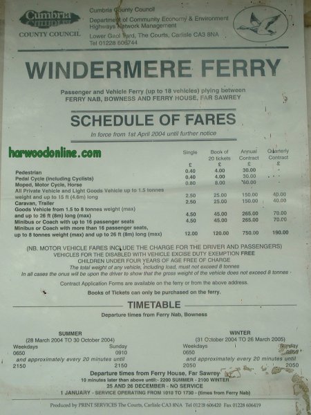
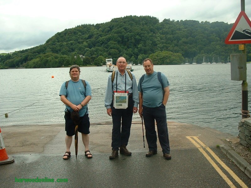
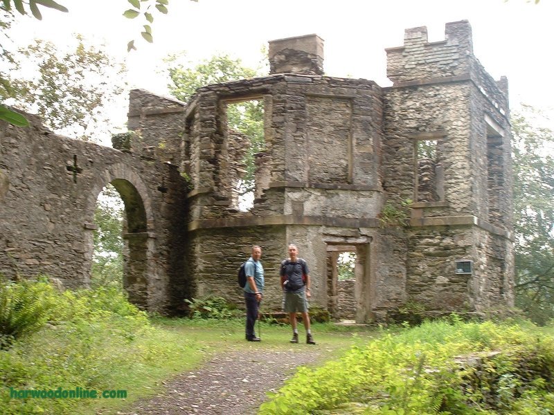
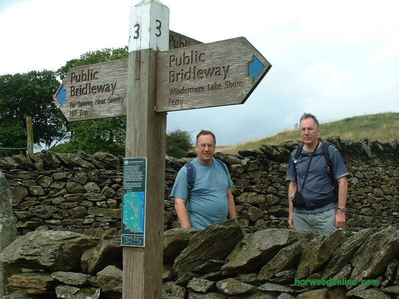
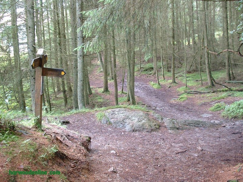
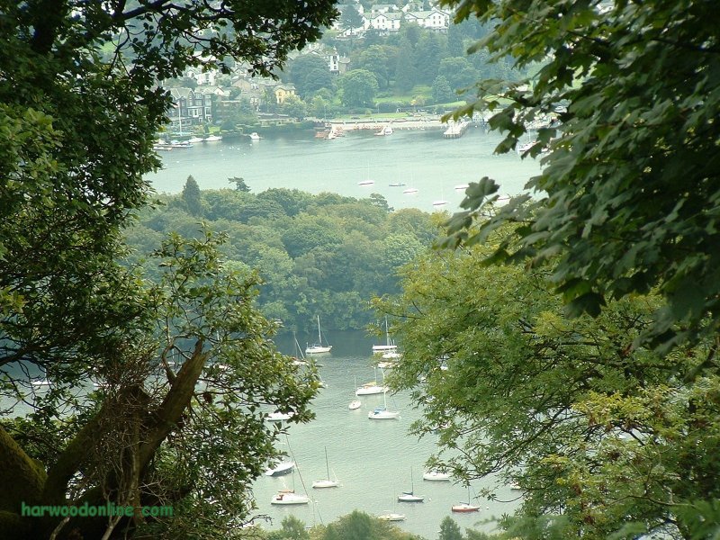
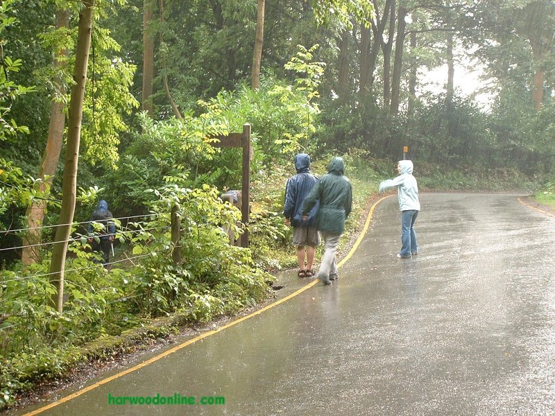
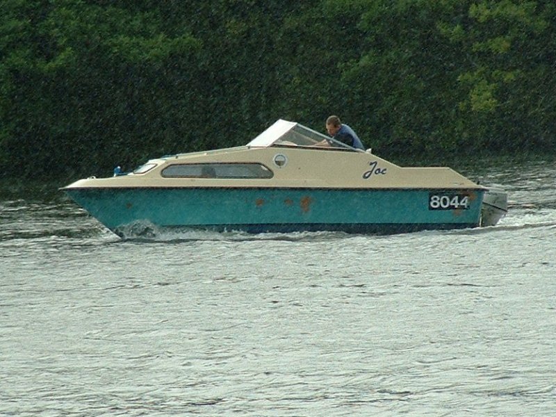
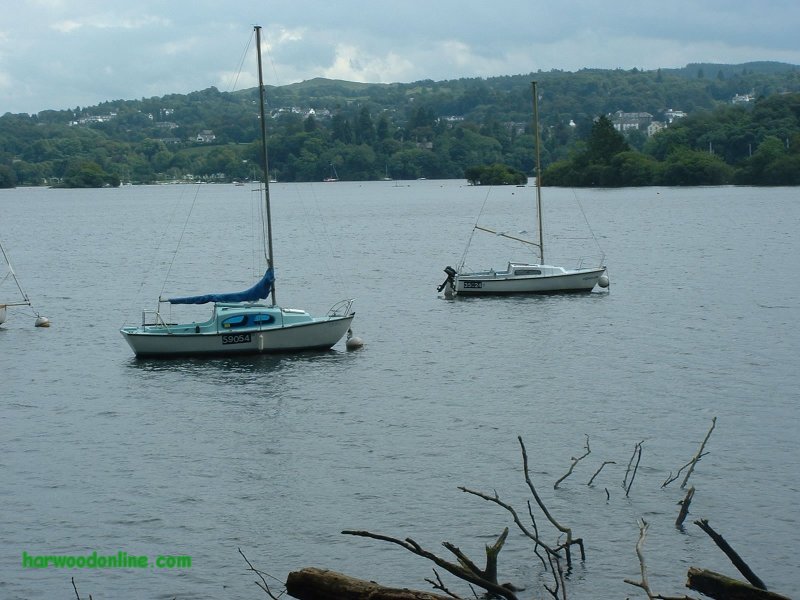
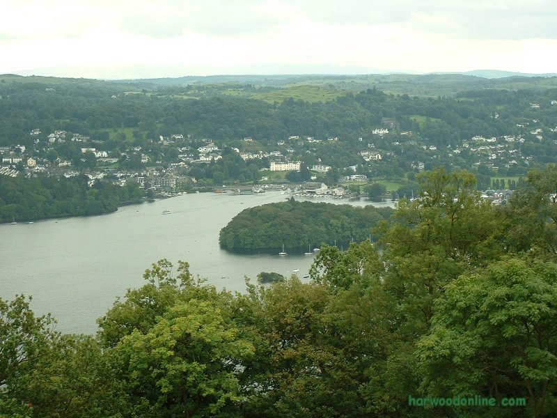
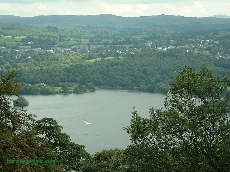
'AA' No Through Road  No. 183                 Total 803 miles

Time Taken:  4.50 hrs   Distance:   Enjoyment:     Weather:   Very Heavy Showers
  9:30 am - 2:00 pm        7 miles           85%                             & Thunderstorms

Temp:     Cloud:     Rain:      Visibility:      Ground Conditions:     Wild Life:
  22oC        90%        15%          Poor             Muddy Underfoot     Sheep, Squirrels

Total AA:    Total MH:   Total LD:    Total AW:     Other:    Total Distance:
  803 mls       808 mls    1714.5 mls    140.5 mls      898 mls      4364 miles

Companions:   (Derek)   Kenny, Larry & Dennis

Points of Interest:
Bowness on Windermere       Cockshott Point         Lake Windermere
Windermere Ferry                    Belle Isle                     The Station
Station Scar Wood               Claife Heights              Belt Ash Coppice
Heald Wood                          Slape Scar               Thompson's Holme
General: 166 of 205 'AA' Walks completed. 'AA' No Through Road, 183rd walk & 803 miles. Parking on 'ONE WAY' road by boat hire. Dennis passed recommended car park & drove to next car park closer to main road, but further from the lake. Pleasant walk from car park past Cockshott Point to ferry. Ferry 40 pence each person each way, no return tickets. Interesting change to watch cars on & off ferry. (Cars �2.50 each.) Left Dennis soon after ferry to walk along shore and meet us at half way stage '12'. Sign posts vandalised at '1' & '3'. 'The Station' ruins plaque very interesting to read. Trees now established in front of viewing area at 'The Station' blocking the view. Steep ascent after '4' to top of Station Scar Wood. Very few glimpses of Windermere through trees during the walk. Good path to '5', but take care to turn left and not right onto lane. Instinct says turn right and Larry turned right, but he wasn't keeping an eye on the map, that was my job. No stile at '5', now a kissing gate. At '6' take track to right between between walls. Map says between 'Walls & Fence' but present walls look permanent and many years old. No barn at '7' but good track running parallel to wall. Plenty of white waymarkers scattered around the length of the walk. No gate or stile at '8' but path is obvious. T-Junction at '9' shows 'Belle Grange' as direct ahead not right. Good path but several detours to miss boggy sections. At one point after '9' there was a detour to a detour. Very heavy rain before '10'. Slippery rocks due to rain & wet conditions, especially on descent from '10' to '12'. Small fenced off area at '12' signed 'Wildlife Viewing Point!' An arrow pointed to a feeding station for Red Squirrels, but unfortunately we didn't see any. We were hoping to see Dennis at this point but he had walked to 'Bass Rock' and up to Red Nab Car Park. Larry had given Dennis a 'Walky Talky', unfortunately there was too much interference due to the trees, so we couldn't communicate properly. We all met up eventually and strolled down the good lakeside path back to the ferry. Before we reached the ferry the heavens opened. We sheltered the best we could be still got wet. We enjoyed another crossing on the ferry and strolled back to the car. After changing we left the car in the car park and headed into Bowness for a pie & a pint or two. Another excellent day on the hills, albeit wet. Location Map:- www.streetmap.co.uk Hazards: Do not walk when thunderstorms are forecast. Take extra care when walking on rocks during wet weather, most rocks are very slippery when wet. Radio communications can be degraded in wooded areas. Click Here to Return to 'Lifetime of Walks' Homepage | |||||
 | |||||
 | |||||
 | |||||
|
|||||
 | |||||
 | |||||
 | |||||
 | |||||
 | |||||
 | |||||
 |
 |
 |
 |
 | |
| Previous Walk : Next Walk : More Photos : 'LifetimeofWalks : 'Lake District' Photos | |||||
| News : Formula 1 : Walking : Table Tennis : Bellringing : My Friends : My Guestbook : CV : Links | |||||
Derek Harwood: Copyright 2004 Devised: September 2004 | |||||